- Geologic
hazard analysis for project feasibility and preliminary planning
stages.
- Geologic
investigations for design level planning
stages.
- Geologic
evaluations and investigations for vineyard development and slope stability maintenance.
- Geologic and
geotechnical input for Environmental Impact Reports and planning
projects for both public and private
sector clients.
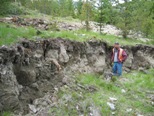
- Geologic
investigations for recent slope failures, such as landslides, sink
holes and stream bank erosion.
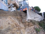
- Coastal
bluff evaluation and stabilization.
For your preliminary project planning and construction purposes we
are capable of rapidly reconnoitering and characterizing your project
site based on our broad field mapping and aerial photographic analysis
experience in the San Francisco Bay Area. Detailed aerial photographic
research and analysis, combined with field mapping and subsurface
exploration, is used to document site history and the impacts of active faulting and slope stability
hazards.
We have recently moved. Please note our new address: 3228 Silverado Trail N, St. Helena, CA 94574.
|
 |


